How to Use a Hong Kong Map for eSIM Data Plans in 2026
8/27/2026
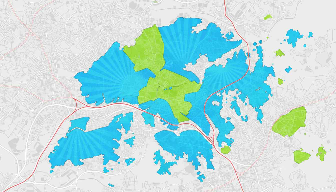
In short, what you'll discover in this article: Explore a comprehensive guide to the hong kong map with detailed downloadable versions. Learn about public transit layers, neighborhood insights, and practical tips to navigate Hong Kong effortlessly during your trip.
1. Why a Good Map of Hong Kong Is Essential
Planning a trip to Hong Kong without a reliable map can lead to confusion and wasted time. A detailed map of Hong kong helps you visualize the city's layout, including its main neighborhoods, tourist attractions, and transport options.
This clarity is crucial for efficient itinerary planning and stress-free navigation.
With the city's dense urban environment and complex transit systems, having access to an interactive map of Hong Kong or a printable map of Hong Kong ensures you stay connected and oriented throughout your visit.
2. Types of Maps Available
Hong Kong offers various types of maps catering to different traveler needs. Understanding these options will help you pick the best one for your trip.
2.1 Interactive Online Map (Key Features)
The interactive map of Hong Kong provides real-time updates on transportation routes, traffic conditions, and points of interest. It allows zooming into neighborhoods like Central or Kowloon and toggling layers such as public transit or walking paths.
Features include:
- Searchable landmarks and addresses
- Transit overlays including MTR lines and bus routes
- Real-time traffic and service alerts
- Integration with GPS for live navigation
This digital tool is ideal for travelers who want dynamic guidance on the go.
2.2 Printable / PDF Map for Travel
A printable map of Hong Kong is perfect for offline use when internet access is limited or to have a quick reference in hand. These maps often highlight:
- Major attractions
- Public transportation hubs
- Walking routes
- Street names and neighborhood boundaries
You can download high-quality PDFs from official sources like the GeoInfo Map by HKSARG for detailed offline use.
2.3 Specialized Maps (Food, Shopping, Nature, Transport)
For niche interests, specialized maps focus on:
- Food districts and popular eateries
- Shopping areas like Causeway Bay or Mong Kok
- Nature trails in New Territories or Lantau Island
- Transport-specific maps such as ferry routes or tram lines
These maps enhance your experience by guiding you to places aligned with your preferences.
3. Transportation and Useful Layers on the Map
Navigating Hong Kong’s extensive transport network is easier when you understand the key layers available on most maps.
3.1 MTR — Lines, Main Stations, and Exit Maps
The subway map of Hong Kong (MTR) is essential for quick travel across the city. It shows all lines with color codes, station names, and transfer points.
Exit maps at major stations help you find the right street exit quickly.
3.2 Trams, Ferries, and Main Buses
Hong Kong’s iconic trams run mainly on Hong Kong Island, providing scenic routes through Central and Causeway Bay. Ferries connect Kowloon with outlying islands like Lantau.
Bus routes cover areas not served by MTR or trams.
3.3 How to Read Timetables and Use Real-Time Layers
Many interactive maps include real-time layers that show bus arrival times, ferry schedules, and tram frequencies. Learning to read these helps avoid waiting times and plan transfers smoothly.
4. Neighborhoods and Detailed Maps
Understanding the layout of key districts enhances your travel planning.
4.1 Hong Kong Island (Central, Causeway Bay, Sheung Wan)
This area is the financial heart with skyscrapers, shopping malls, and cultural sites. The street map of Hong Kong Island reveals pedestrian-friendly zones and transit stops critical for daily exploration.
4.2 Kowloon (Tsim Sha Tsui, Mong Kok, Yau Ma Tei)
Kowloon is known for bustling markets and vibrant street life. Detailed maps highlight night markets and shopping streets where you can immerse yourself in local culture.
4.3 New Territories and Lantau (Disney/Ngong Ping/Tung Chung)
These regions offer natural parks, hiking trails, and attractions like Disneyland Hong Kong. Topographic maps are useful here to understand elevation changes on hiking routes.
5. Recommended Routes and Walking Maps
Planning your daily itinerary becomes easier with suggested routes tailored to different time frames.
5.1 Half-Day Route — Central & Victoria Peak
Start from Central’s business district, explore landmarks like Man Mo Temple, then take the Peak Tram up Victoria Peak for panoramic views.
5.2 Full-Day Route — Kowloon & Night Markets
Spend a day visiting cultural sites in Tsim Sha Tsui before heading to Mong Kok’s night markets for shopping and street food adventures.
6. Accessibility and Practical Information on the Map
Maps also provide vital information for travelers requiring accessibility features or emergency services.
6.1 Elevators/Ramps, Accessible Stations, Mobility Services
Look for symbols indicating wheelchair-accessible entrances at MTR stations or ramps in public areas to ensure smooth mobility throughout the city.
6.2 Hospitals, Police Stations, Embassies (Downloadable Emergency Map)
Having a downloadable emergency map with locations of hospitals, police stations, and embassies adds peace of mind during your stay.
7. Tips for Using Offline Maps and Downloading Resources
To avoid roaming charges or connectivity issues while exploring Hong Kong:
- Download offline maps before arrival from trusted apps like Map of Hong Kong offline.
- Save PDF versions of key neighborhood maps on your device.
- Use apps supporting offline GPS navigation for walking routes.
8. Downloadable Resources and Developer Tools
For tech-savvy travelers or developers interested in custom mapping:
8.1 Printable PDFs, SVG/PNG Images, GeoJSON Files, Embed Codes
Official resources such as those from the Lands Department - e-HongKongGuide offer various formats suitable for printing or integration into apps or websites.
9. Connect Seamlessly With eSIM Data Plans in Hong Kong
While exploring these maps is essential, staying connected without roaming fees is equally important. The prepaid eSIM data plans available from providers like CSL, SmarTone, or Three offer excellent coverage across Hong Kong’s urban areas including Victoria Harbour.
For detailed plans comparison including verified discount codes and instant activation options that keep you online from airport arrival to city exploration without interruptions, check out our dedicated guide on eSIM Hong Kong. You can also learn how to get an eSIM in Hong Kong step-by-step here or discover the best eSIM plans available here.
10. Conclusion + Call To Action
A reliable hong kong map combined with a suitable eSIM data plan ensures your trip runs smoothly without getting lost or disconnected. Download your preferred maps now and subscribe for updates to receive the latest transit info and travel tips before your journey begins!
FAQ
What types of Hong Kong maps are best for travelers?
Travelers can choose from interactive online maps for real-time updates, printable PDF maps for offline use, and specialized maps focusing on food, shopping, or nature. Each type suits different needs, whether navigating transit or exploring specific interests.
How can I use Hong Kong’s MTR map effectively?
The MTR map shows all subway lines with color codes and station names. Using exit maps at major stations helps you find the correct street exit quickly, making transfers and navigation across the city more efficient.
Are there downloadable maps for offline use in Hong Kong?
Yes, high-quality printable PDF maps are available from official sources like the GeoInfo Map by HKSARG. These maps highlight major attractions, transit hubs, and walking routes, perfect for travelers without constant internet access.
What neighborhoods should I focus on when planning my Hong Kong trip?
Key areas include Hong Kong Island (Central, Causeway Bay), Kowloon (Tsim Sha Tsui, Mong Kok), and New Territories with Lantau Island. Each offers unique attractions and detailed maps help plan visits to markets, parks, and cultural sites.
How do eSIM data plans enhance using Hong Kong maps?
eSIM data plans provide seamless internet access without roaming fees, enabling live map updates and GPS navigation. Providers like CSL and SmarTone offer coverage across the city, ensuring you stay connected while exploring.

Emily Wong
Emily is a Hong Kong-based travel writer. At Hong Kong eSIM she compares CSL, 3 and SmarTone plans so visitors stay connected from the airport to Victoria Harbour.